
Key facts at a glance
Every snow report for the region quotes at least two figures: snow depth in the valley and snow depth on the mountain. The gap between them is often more than a metre, because there are around 2,280 metres of altitude between Zell am See at 750 metres and the Kitzsteinhorn at 3,029 metres. For the question of whether skiing is possible, the mountain figure and the number of open lifts are what count, not the valley figure. The glacier makes the region snow-reliable even in weak winters.
Few figures are googled as often before a ski holiday, or misunderstood as often, as snow depth. Look it up for Zell am See-Kaprun and you will usually find two very different numbers side by side, with no idea which one applies. This article explains how the region’s snow report is structured and which figure actually matters for your decision.
Why there are always two figures
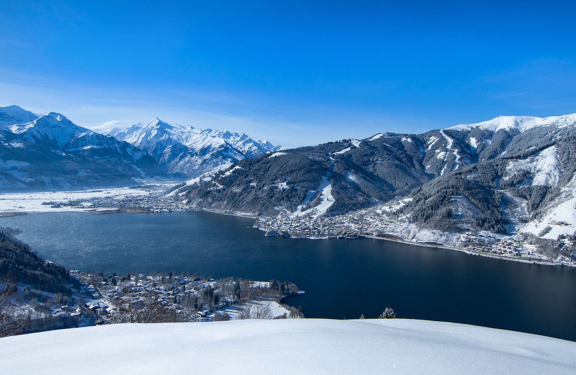
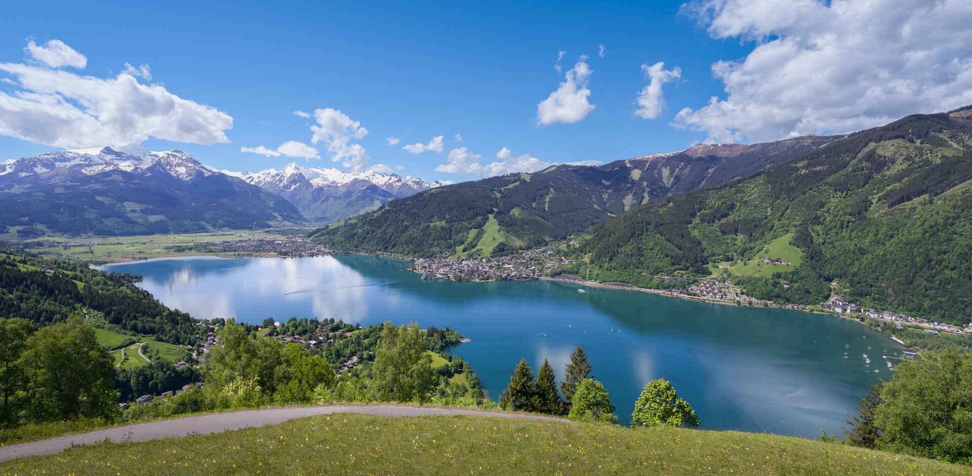
Zell am See lies at 750 metres directly on the lake. The Kitzsteinhorn reaches 3,029 metres. Between them lie roughly 2,280 metres of altitude, equating to about 14 degrees of temperature difference. It is therefore entirely normal for rain to fall in the village while half a metre of fresh snow accumulates up top.
In practice: the valley snow depth describes the scenery and the valley runs. The mountain snow depth describes whether and how well you can ski. Read only the valley figure and you will underestimate the region consistently.
The terms in the snow report
- Valley snow depth: measured in the village area or at the base station. Says little about piste quality.
- Mountain snow depth: measured in the upper piste area. This is the relevant figure for skiers.
- Fresh snow: the amount from the last 24 or 48 hours. Tells you something about powder, nothing about how well the pistes carry.
- Base: the settled old snowpack. The single most important figure for piste quality.
- Open lifts and pistes: more informative than any centimetre figure. If almost every installation is running, conditions are good, regardless of how the village looks.
- Piste condition: descriptions such as grippy, hard or spring-like say more about your day than the depth figure.
Where the numbers come from
Snow reports are published by the lift companies and updated daily, usually early in the morning. For the Zell am See side that is the Schmittenhöhe lift company; for Kaprun the glacier lifts covering the Maiskogel and Kitzsteinhorn. Current figures are on their official pages. It is worth combining them with a look at the region’s webcams: the number tells you how much lies, the image tells you what it looks like.
How snow-reliable the region really is
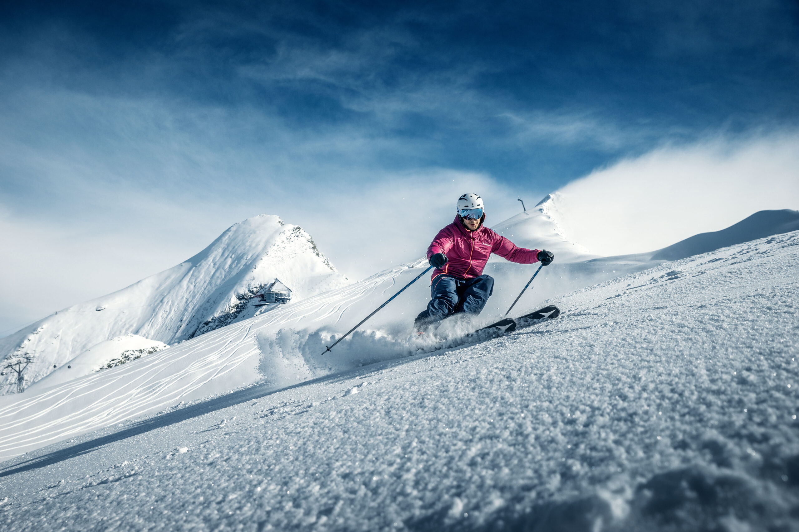
The snow reliability of Zell am See-Kaprun rests on altitude, not on the valley. The Kitzsteinhorn is a glacier ski area whose season begins in autumn and runs well into spring. Even in weak winters it operates, while lower-lying areas struggle. That insurance policy is the region’s central structural advantage, see glacier skiing on the Kitzsteinhorn.
The Schmittenhöhe at just under 2,000 metres is good but not glacier-backed. In mild winters there can be restrictions at the start and end of the season, particularly on the valley runs.
When snow depth peaks
The snowpack builds through the winter and peaks in late winter. January is considered the most snow-reliable month, February offers the best combination of quantity and quality, and in March total depth at altitude is often greatest while spring has already arrived in the valley. For the overall climate picture, see weather and the best time to visit.
What the number does not answer
A high snow depth guarantees nothing about the quality of your ski day. Wind, visibility, temperature and crowds all play a part. A day with 60 centimetres of base, sunshine and empty pistes beats a day with two metres of snow, a gale and closed summit lifts. Use the snow report alongside the weather forecast and the lift status, and plan the rest via the regional ski guide and the ski area overview.
Frequently Asked Questions
How much snow is there in Zell am See?
That depends entirely on altitude. In the village at 750 metres the ground can be bare while a deep snowpack lies on the Kitzsteinhorn above 3,000 metres. The lift companies publish current figures daily in their snow reports.
What does base depth mean in the snow report?
The base is the settled, compacted snowpack beneath the fresh snow. It is the figure that actually matters, because it determines whether the pistes carry. Twenty centimetres of fresh snow on a thin base is worth less than a solid old snowpack.
Is Zell am See-Kaprun snow-reliable?
At altitude, yes. The Kitzsteinhorn is a glacier ski area and keeps running even in low-snow winters. The valley runs and the village itself are not snow-reliable, particularly at the start and end of the season.
When is snow depth greatest?
Statistically the snowpack peaks in late winter, roughly from late January into March. January is the most snow-reliable month; March often has the greatest total depth at altitude.