Key facts at a glance
Six hikes cover the range here, from a flat 13 km loop around the Zeller See to the 3,203 m Kitzsteinhorn. The Schmittenhöhe is the classic and the Pinzgauer Spaziergang the one locals name first. The season runs late May to October, with September offering the clearest views and the fewest people.
| Hike | Difficulty | Duration | Distance or ascent | High point | Good for |
|---|---|---|---|---|---|
| Schmittenhöhe summit trail | Moderate | 3-4 h up, 2.5 h down | About 1,100 m of ascent | 1,965 m | The classic: 30+ three-thousanders from the top |
| Pinzgauer Spaziergang | Moderate | 4-5 h one way | About 14 km traverse | Ridge from 1,965 m | Long ridge walking without technical difficulty |
| Gletscherweg Kaprun to Mooserboden | Moderate to demanding | 3-4 h | Shuttle buses cover the climb | 2,036 m | Dam walls and glacier scenery for modest effort |
| Loop around the Zeller See | Easy | 2-3 h | About 13 km, flat | 750 m | Families, low cloud, and your first morning |
| Kitzsteinhorn ascent | Demanding | 5-6 h | About 1,400 m from the valley | 3,203 m | Strong hikers; ride up and walk down |
| Hundstein summit | Moderate to demanding | 3.5-4.5 h round trip | From Maishofen | 2,117 m | A quiet alternative, with a hut at the top |
If you are looking for unforgettable hiking experiences in Zell am See, you have come to the right place. Tucked between the shimmering Zeller See and the rugged peaks of the Kitzbüheler Alpen and the Hohe Tauern, this corner of the Salzburgerland is a dream for every hiker — whether you are after an easy stroll along the lakeshore, a demanding summit climb, or a fast trail run across the mountain meadows. I have spent a lot of time exploring these paths, and here I share the finest of them with you, along with everything you need to plan your tour.
Why Zell am See ranks among Austria’s best hiking destinations
Zell am See sits at around 750 metres above sea level — which means you are already halfway up before you have even laced your hiking boots. The town itself is compact and easy to explore on foot, and the hiking infrastructure is excellent: well-marked trails, reliable cable cars, and mountain huts along every major route. The best hiking season runs from late May to October, with July and August offering the longest days and the warmest temperatures. September is arguably the ideal time: fewer crowds, golden light, and alpine meadows in full colour.
The 6 most beautiful hikes in Zell am See and Kaprun
1. Summit trail to the Schmittenhöhe — the classic above the lake
Difficulty: moderate | Duration: 3–4 hours uphill, 2.5 hours downhill | Elevation gain: approx. 1,100 m
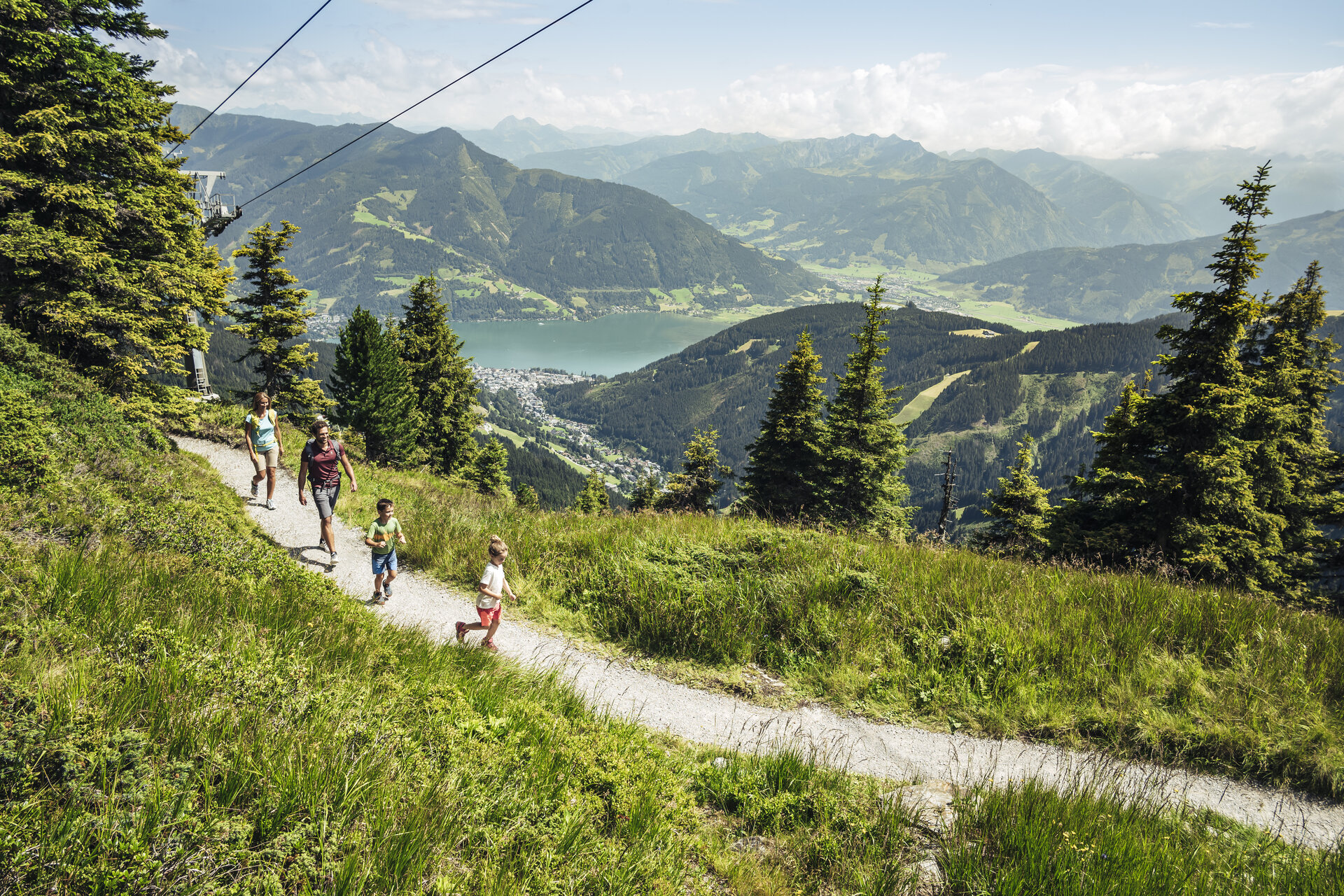
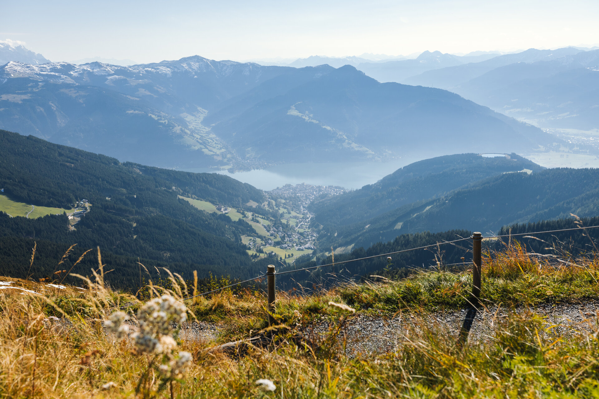
The Schmittenhöhe (1,965 m) is the mountain that defines the silhouette of Zell am See, and the climb to its summit is simply part of the experience. You can ride up with the Schmittenhöhebahn cable car and walk down — or, if you are ambitious, hike the whole route from the town itself. The trail begins near the valley station and leads through mountain forest before opening onto wide meadows with panoramic views of the Zeller See and the Großglockner massif to the south.
At the summit, the 360° view is truly breathtaking: on a clear day you can count more than 30 peaks rising above 3,000 metres. The Pinzgauer Spaziergang, the famous high-altitude trail, also begins here — which makes the Schmittenhöhe a natural starting point for longer tours. Treat yourself to a coffee at one of the summit restaurants before heading back down.
2. Pinzgauer Spaziergang — the legendary high-altitude trail
Difficulty: moderate | Duration: 4–5 hours (one way) | Distance: approx. 14 km traverse
This is the trail the locals rave about — and for good reason. The Pinzgauer Spaziergang is a high-altitude ridge trail that runs east from the Schmittenhöhe along the mountain crest, with the Zeller See and the Salzach valley spread out below you the whole way. The path is beautifully maintained and follows a mostly comfortable ridgeline — so while it is long, it is not technically demanding.
Most hikers ride the cable car up to the Schmittenhöhe, walk the high trail, and then descend to Saalbach-Hinterglemm or take a connection back. Pack provisions and water — the middle section is remote — and start early to make the most of the morning light over the peaks.
3. Gletscherweg Kaprun — alpine drama in the Hohe Tauern
Difficulty: moderate to demanding | Duration: 3–4 hours | Best season: July–September
Just 10 kilometres south of Zell am See, the Kaprun valley opens onto one of Austria’s most dramatic alpine landscapes. The route up through the Sigmund-Thun-Klamm gorge and on to the Mooserboden reservoir is a real highlight — you walk alongside thundering waterfalls, through tunnels carved into the rock, and emerge into a high-alpine world of stone and ice.
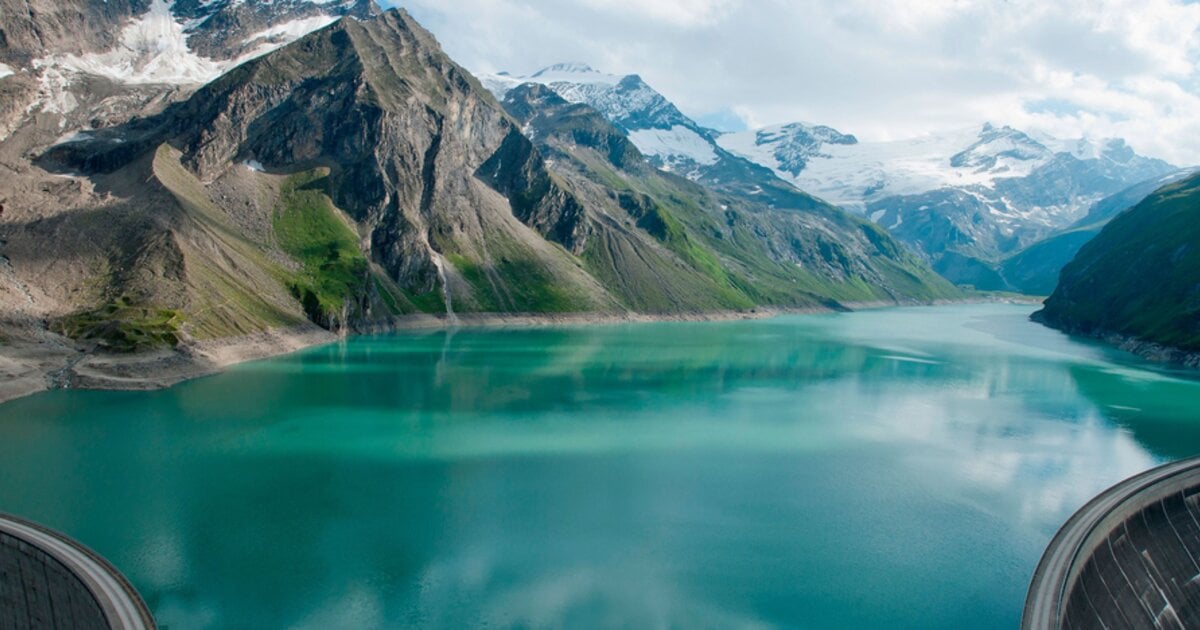
The Mooserboden reservoir at 2,036 metres, flanked by the Schmiedingerkees glacier, is among the most impressive landscapes in the Alps — at once man-made and entirely natural. Take the shuttle buses up from Kaprun and walk between the two dam walls — a route that asks for little fitness but delivers maximum wow factor.
4. Loop around the Zeller See — easy and beautiful
Difficulty: easy | Duration: 2–3 hours | Distance: approx. 13 km
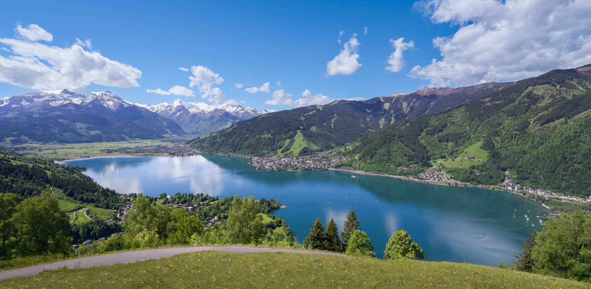
Not every great hike has to include a summit. The loop around the Zeller See is one of those tours you do once and immediately want to repeat. The path is flat, well surfaced in places, and leads you through reed belts, past beaches, through the quiet village of Thumersbach on the eastern shore, and back into town across the northern meadows.
This is the ideal route for families, for days when the higher peaks are wrapped in cloud, or for your first morning in Zell am See, when you simply want to get your bearings. Sunrise over the lake — with the Schmittenhöhe mirrored in the water — is genuinely one of the most peaceful moments you can experience in Austria.
5. Ascent to the Kitzsteinhorn — glacier-shaped grandeur
Difficulty: demanding | Duration: 5–6 hours | Elevation gain: approx. 1,400 m from the valley
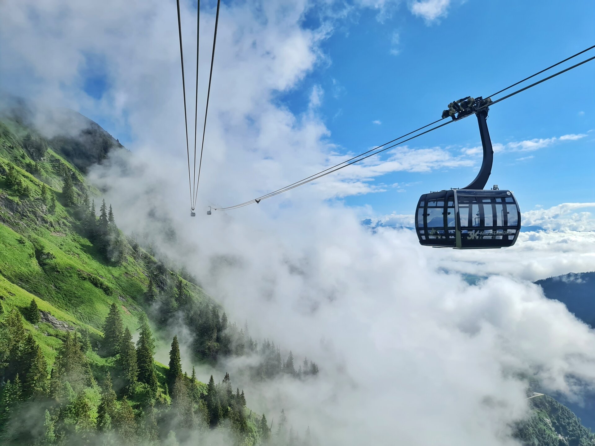
The Kitzsteinhorn (3,203 m) above Kaprun is best known as a glacier ski area, yet ambitious hikers can take on its lower flanks on foot in summer. Combine a gondola ride up with a descent on foot for a thoroughly manageable version of this tour. Sturdy footwear and layered clothing are essential — even in August, temperatures near the glacier can drop quickly.
6. Summit of the Hundstein — the insider tip
Difficulty: moderate to demanding | Duration: 3.5–4.5 hours (round trip) | Summit altitude: 2,117 m
Drive east from Zell am See towards Maishofen and you will find the starting point for the Hundstein — one of the region’s underrated summit hikes. The mountain lies on the northern edge of the Pinzgau ridge and offers a slightly different perspective over the whole sweep of the Salzach valley and deep into the Hohe Tauern.
The trail climbs steadily through larch forest before opening onto open alpine pasture. At the top, the Hundsteinhütte serves cold drinks and warm meals — the Kaiserschmarrn here is legendary among locals. This trail is quieter than the routes up the Schmittenhöhe and rarely feels crowded, even in high season.
Trail running in Zell am See
For anyone who likes to experience their mountains at pace, the trail running in Zell am See is outstanding. The trail network of the Schmittenhöhe is a particular favourite — the combination of well-kept paths, manageable gradients, and spectacular views makes it ideal for everything from a quick 45-minute tempo run to a full-day mountain ultra. The Pinzgauer Spaziergang is a popular route for strong trail runners after a point-to-point experience with proper distance. From late June to September is the best time, once the snow has cleared from the high routes and the ground is firm.
Practical tips for your tour
- What to wear: Even in summer, bring a waterproof layer and a warm fleece. The weather in the Alps changes fast. Proper hiking boots with ankle support are essential for anything above lake level.
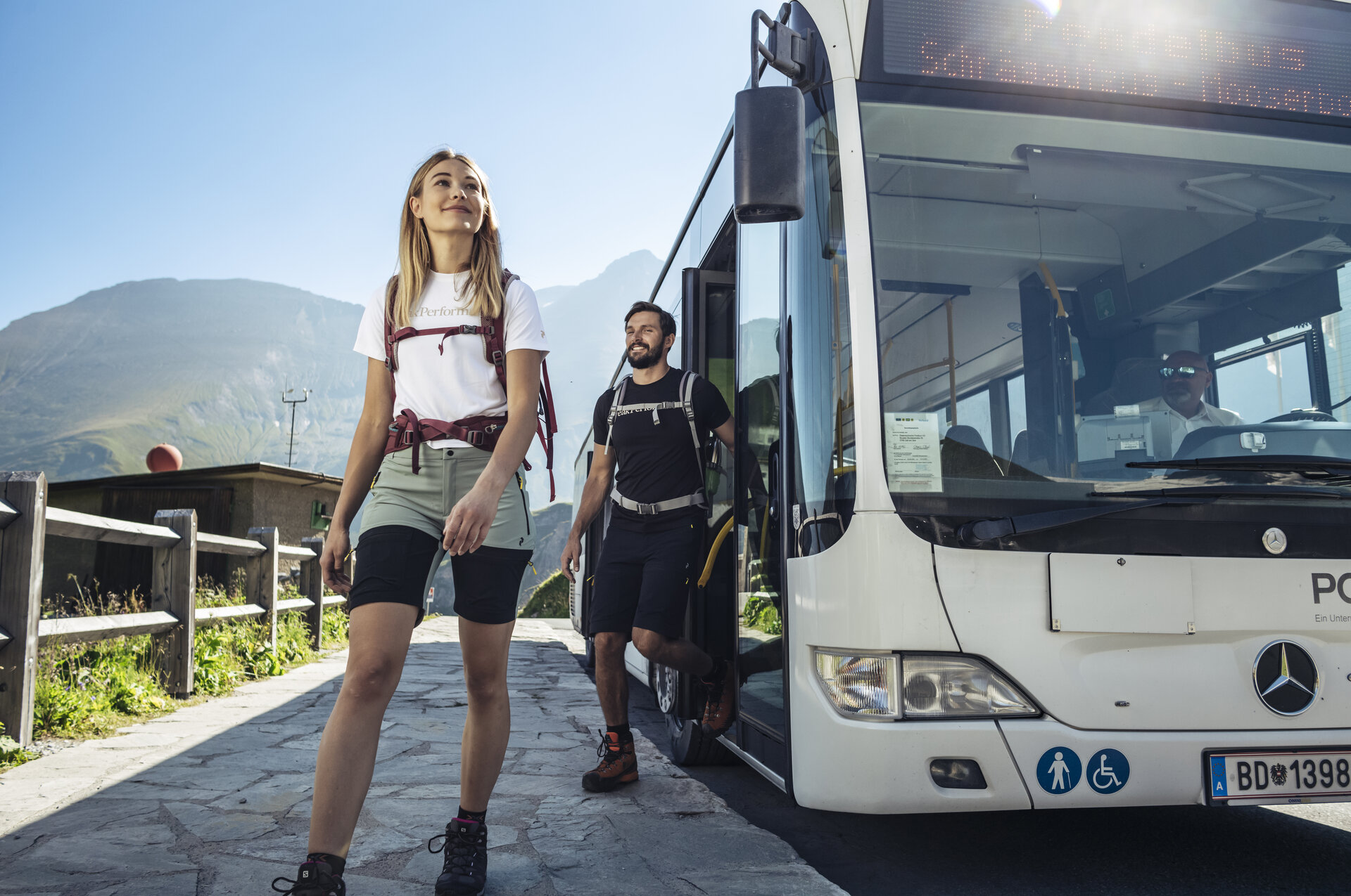
- Where to start: Most trails are reachable directly from the centre of Zell am See, or after a short drive or bus ride to Kaprun (10 minutes). The valley station of the Schmittenhöhebahn is a ten-minute walk from the main square.
- Cable cars: The Schmittenhöhebahn and the Kaprun shuttles run from late May to the end of October. Current timetables are available on the website of the Zell am See–Kaprun tourist board.
- Maps and navigation: The Kompass hiking map No. 30 covers the entire region in detail. As a safeguard, download offline maps to your phone.
- Mountain huts: Most huts along these trails serve food and drinks from late June to early October. No reservation is needed for lunch — just turn up hungry.
Keen to discover more of the region?
Hiking in Zell am See is just one facet of what makes this destination so special. Whether you are planning a summer adventure or combining the hiking trails with a jump into the lake — there is always more to discover. Take a look at our guides to the best activities in Zell am See, to summer in Zell am See, and to activities in Kaprun, to make your trip truly unforgettable.
Further guides: Summer in Zell am See & Kaprun · Zell am See–Kaprun: The complete travel guide
Frequently Asked Questions
What is the best hike in Zell am See?
The summit trail to the Schmittenhöhe at 1,965 metres is the classic, and on a clear day more than 30 peaks above 3,000 metres are visible from the top. If you want the walk locals name first, it is the Pinzgauer Spaziergang, a 14-kilometre high ridge trail starting from the same summit.
When is the hiking season in Zell am See?
Late May to October. July and August bring the longest days and warmest temperatures; September is arguably the best of all, with fewer people, golden light and the meadows in full colour. Most mountain huts serve food from late June to early October.
Are there easy hikes in Zell am See?
Yes. The loop around the Zeller See is about 13 kilometres, flat, well surfaced in places and takes 2 to 3 hours. It suits families, days when the peaks are in cloud, and a first morning spent getting your bearings.
How long does it take to hike the Schmittenhöhe?
Roughly 3 to 4 hours up and 2.5 hours down, with about 1,100 metres of ascent from the valley. Many walkers ride the Schmittenhöhebahn up and walk only the descent, which turns it into a half-day outing.
Can you hike the Kitzsteinhorn?
The lower flanks, yes, in summer. The full ascent to 3,203 metres is a demanding 5 to 6 hours with about 1,400 metres of climbing. The manageable version is to ride the gondola up and walk down. Sturdy boots and layers are essential, because temperatures near the glacier drop quickly even in August.
Do you need a car to reach the trailheads?
Not for most of them. The Schmittenhöhebahn valley station is a ten-minute walk from the main square, and the lake loop starts in town. Kaprun is about ten minutes away by bus or car, and shuttle buses cover the climb to the Kaprun reservoirs. The Hundstein is the one that is easier with a car, starting near Maishofen.
Is Zell am See good for trail running?
Very good. The Schmittenhöhe trail network combines maintained paths, manageable gradients and long views, and works for anything from a 45-minute tempo run to a full day out. The Pinzgauer Spaziergang is the popular point-to-point for strong runners. Late June to September is the window, once the snow has cleared and the ground is firm.
What should you pack for hiking here?
A waterproof layer and a warm fleece even in summer, because alpine weather changes fast, plus hiking boots with ankle support for anything above lake level. Kompass map No. 30 covers the region, and it is worth downloading offline maps as a backup.