Key facts at a glance
The region's webcams fall into three tiers: valley cameras on Lake Zell and in the villages, mid-station cameras on the Schmittenhöhe and Maiskogel, and high-alpine cameras on the Kitzsteinhorn. They are operated by the lift companies and the tourist board, and the live feeds are on their official pages. The key to planning is looking at the right altitude tier: a green valley camera tells you nothing about conditions at 3,000 metres.
Webcams are among the most-used planning tools for a holiday in Zell am See-Kaprun, and they are regularly misread. The most common error: someone sees a green meadow by the lake and concludes there is no snow in the region. In fact a valley camera tells you almost nothing about conditions on the glacier. This article sets out which camera is good for what.
The three altitude tiers
The region’s cameras can be sorted by altitude, and that sorting decides which one you should be looking at.
Valley level, roughly 750 to 800 metres
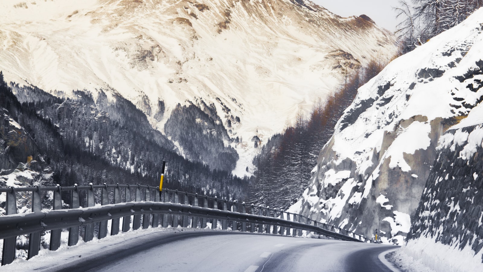
This includes the cameras on Lake Zell, at the lake promenade, in the village centre and in Kaprun. They show what the village looks like, whether it is raining, how visibility across the lake is, and what the road conditions are. For the question what will my drive be like they are the best tool; for what are the slopes like they are practically worthless.
One well-known valley camera also looks out over the Zell am See airfield, a popular starting point for sightseeing flights and a good indicator of the cloud base in the valley.
Middle level, roughly 1,300 to 2,000 metres
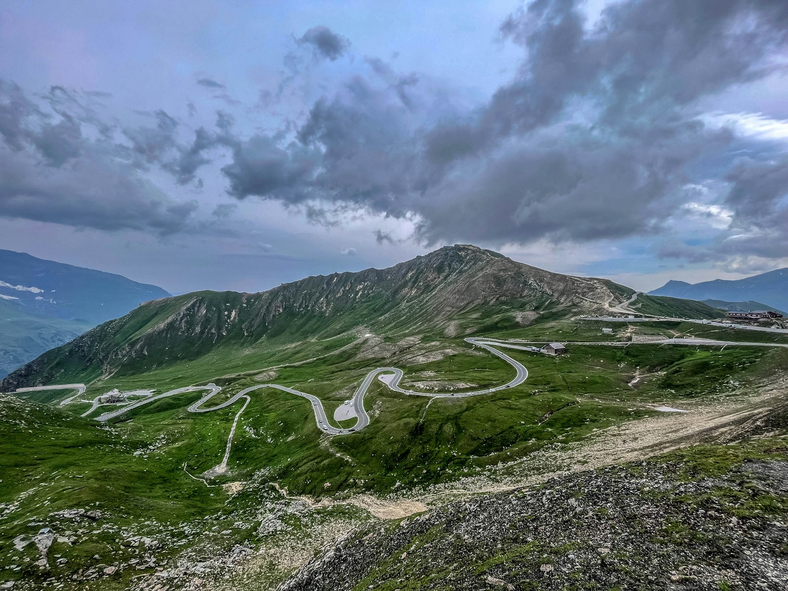
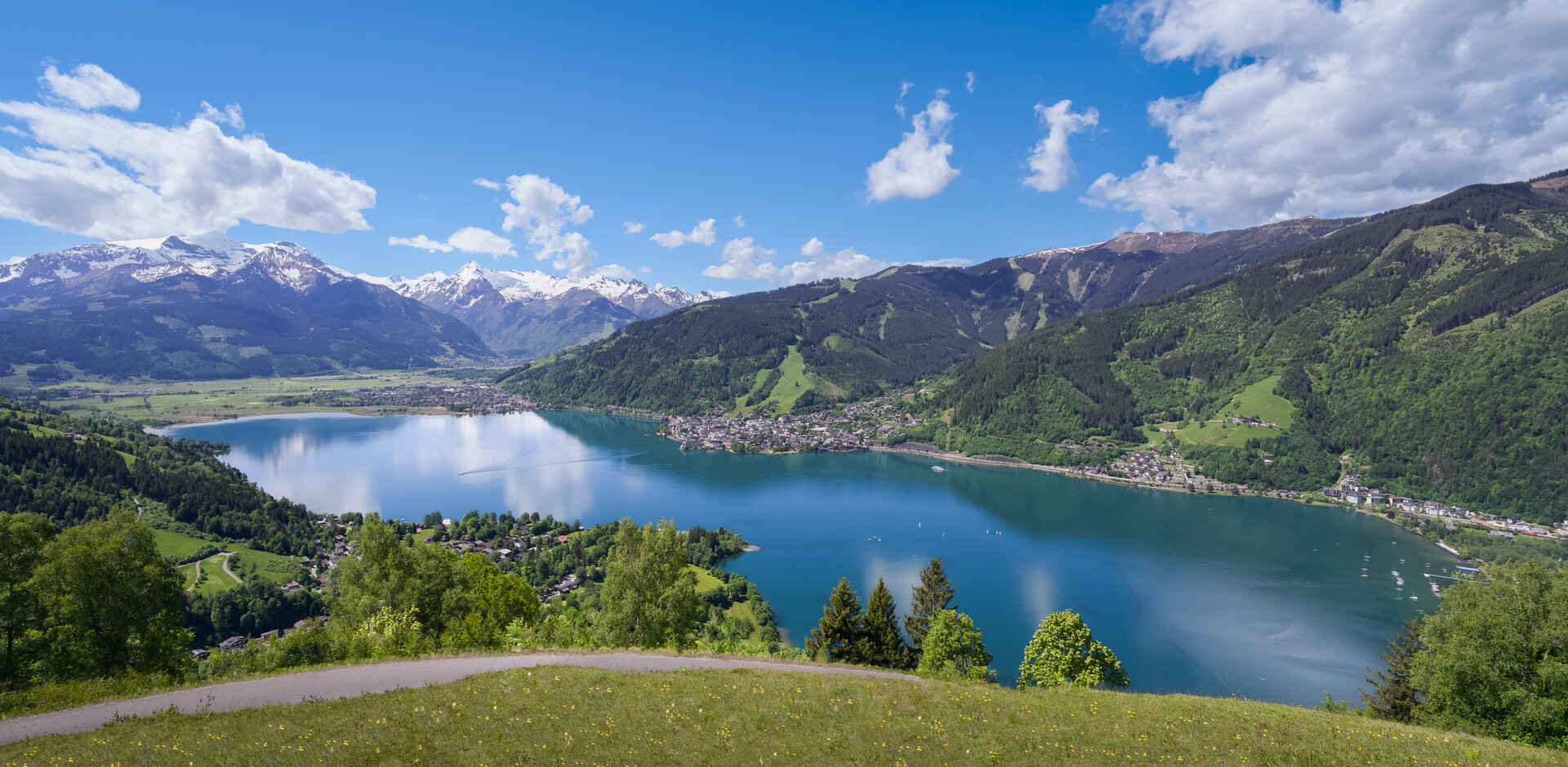
Here sit the cameras on the Schmittenhöhe and on the Maiskogel in Kaprun. For most ski days these are the relevant images: they show the actual snow cover on the main pistes, activity at the lifts, and visibility. The view from the Schmittenhöhe across Lake Zell is at the same time one of the region’s best-known scenes, see also the best photo spots.
High mountains, above 2,500 metres
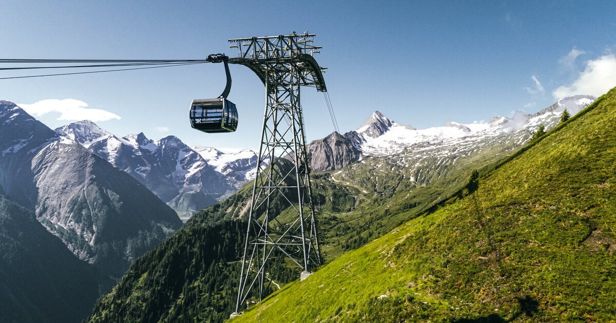
The cameras on the Kitzsteinhorn reach into the area of the Gipfelwelt 3000 above 3,000 metres. They show the glacier pistes and high-alpine conditions. If you want to know in autumn or spring whether skiing is possible at all, this is the decisive tier, see glacier skiing.
Where to find the live images
The cameras are provided by their respective operators: the Schmittenhöhe lift company for the Zell am See side, the Kaprun glacier lifts for the Maiskogel and Kitzsteinhorn, and the tourist board for the village cameras. The links below go straight to each live image, sorted by the same three altitude tiers.
Interactive map
The map is loaded from Mapbox only when you click. Doing so discloses your IP address to Mapbox (USA) and stores an identifier in your browser.
Valley level: Zell am See and Kaprun
- Panorama Zell am See – a high-resolution view across the lake to the Kitzsteinhorn and Schmittenhöhe, with an archive of the past few days
- Zell am See – Thumersbach – the view from the east shore across the lake to the town
- Zell am See airfield – a good indicator of the cloud base in the valley
- Maiskogel Kaprun, 870 m – the valley station in Kaprun
Mid level: Schmittenhöhe and Maiskogel
- Schmittenhöhe summit station – the familiar view over the lake, and the reference camera for the Zell am See pistes
- zellamseeXpress top station – the feeder from Viehhofen, showing the north side of the mountain
- Sonnkogel – a pan-and-tilt panorama camera
- Ebenberg – the lower runs down towards the valley
- Maiskogel top station, 1,570 m – Kaprun’s family mountain and the link up to the Kitzsteinhorn
High alpine and glacier
- Kitzsteinhorn summit, 3,029 m – the Gipfelwelt 3000 level, and the decisive camera for high-alpine conditions
- Sonnenkar, 2,605 m – the Sonnenkar bowl on the Kitzsteinhorn, above the Alpincenter
- Alpincenter, 2,500 m – the heart of the glacier ski area
- Langwied, 2,000 m – the valley run down off the glacier
- Mooserboden high-mountain reservoirs – for planning the summer trip up to the reservoirs
- Heinrich-Schwaiger-Haus – a high-alpine hut above the Mooserboden
Camera locations and addresses do change from time to time. If one of these links stops loading, the operators’ overview pages are always up to date: Zell am See-Kaprun tourist board, Schmittenhöhebahnen and Kitzsteinhorn and Maiskogel.
Reading webcams correctly
- Always pick the matching altitude. The valley camera answers questions about the drive; the mountain camera answers questions about the pistes.
- Note the time in the image. Most cameras stop delivering a new image after sunset and keep showing the last daylight frame instead – a sunny picture at 10pm is then several hours old, not a current view. In winter it is dark by around 16:15. The foto-webcam.eu cameras do keep running through the night: Panorama Zell am See, Mooserboden and Heinrich-Schwaiger-Haus.
- Allow for an iced lens. A white, blurred image can be frost on the housing rather than fog.
- Do not use it as a forecast. In summer a storm can build within an hour. Details on the weather and the thunderstorm rule.
- Combine it with the snow report. The image shows appearance, the report shows numbers, see snow depth and snow report.
Webcams for anticipation
Beyond practical planning, the cameras serve a second purpose: they are a window into the region all year round. The view of Lake Zell in morning mist, the first sun on the Schmittenhöhe, or the glacier in winter light are reasons why many guests check the cameras even when they are not travelling at all. If you are only just getting to know the region, start with the travel guide and Zell am See-Kaprun for the first time.
Frequently Asked Questions
Why does the valley camera show green while the mountain camera shows snow?
Because there are around 2,280 metres of altitude between Zell am See at 750 metres and the Kitzsteinhorn at 3,029 metres. That equates to roughly 14 degrees of temperature difference. A green valley with wintry mountains is the normal state of affairs here, not a contradiction.
Which webcam should I check before a ski day?
The camera at the altitude you intend to ski. For the Kitzsteinhorn, the glacier cameras; for the Schmittenhöhe, the summit and mid-station cameras. The valley camera only helps with the question of what the drive in looks like.
How current are the images?
Most cameras refresh at short intervals, often every few minutes. At night, in fog, or when the lens ices up they deliver little usable information. A black or white image does not automatically mean bad weather.
Does a webcam replace the weather forecast?
No. The webcam shows the current state at one point; the forecast shows the trend. In summer especially, when storms can build within an hour, a sunny live image is not an all-clear for a mountain tour.