
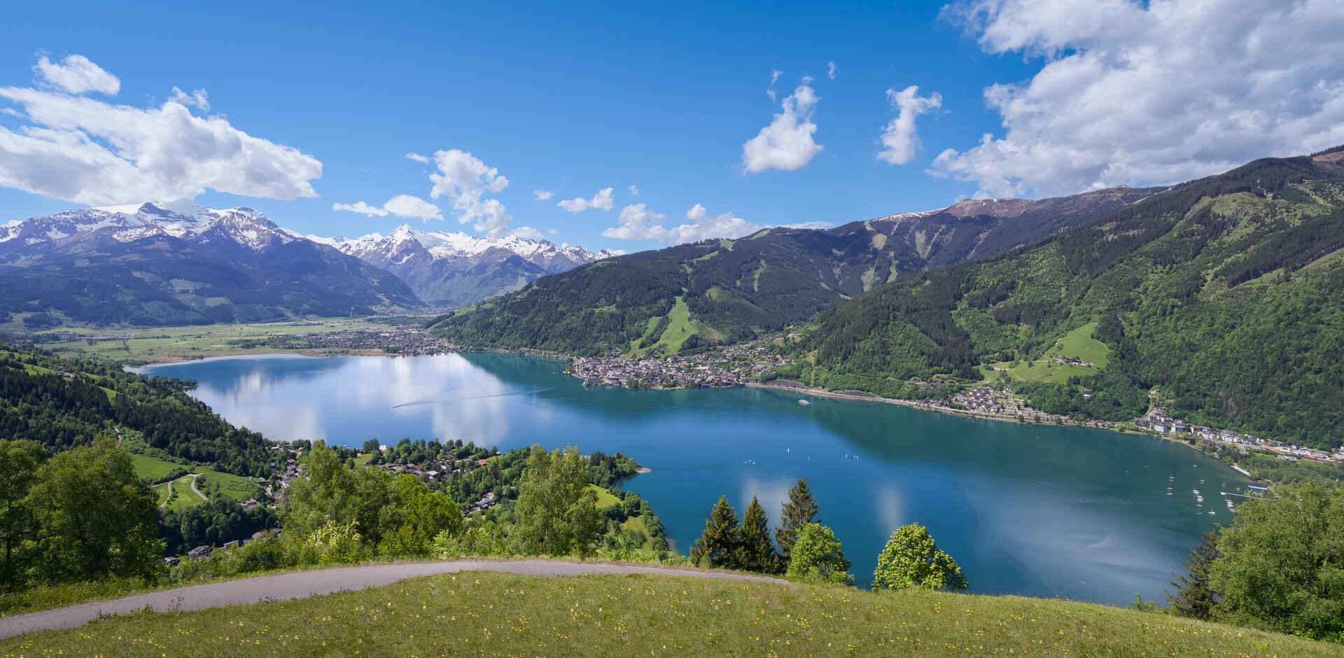
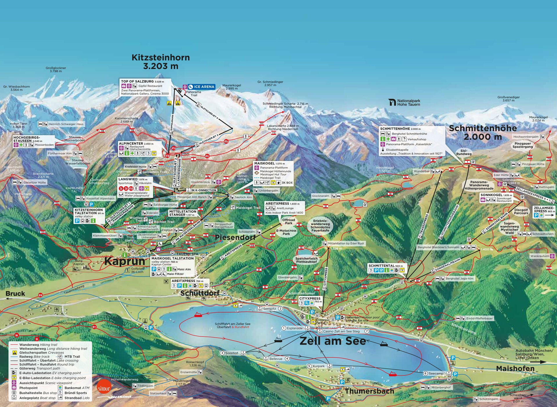
The Zell am See-Kaprun region can be taken in on a single map: the Zeller See at its centre, the Schmittenhöhe to the west, the Kapruner Tal to the south, and above it the glacier of the Kitzsteinhorn.
First-time visitors often mix up what belongs where. Zell am See sits on the western shore of the lake, with Thumersbach directly opposite on the eastern shore — a boat service runs between the two. Schüttdorf adjoins Zell to the south; from there the AreitXpress climbs to the Schmittenhöhe at 2,000 m, the town’s local mountain. Kaprun lies a few kilometres further southwest, at the entrance to the Kapruner Tal.
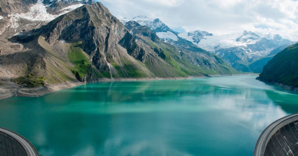
The valley passes Burg Kaprun and the Sigmund-Thun-Klamm gorge to the Kesselfall, where the road ends and buses continue on to the Hochgebirgsstauseen reservoirs at 2,040 m. On the other side of the valley, the 3K K-onnection links the village via the Maiskogel at 1,570 m directly with the Kitzsteinhorn at 3,203 m and the Gipfelwelt 3000.
Every marker on the map opens the matching article with a photo and short description.
 Grossglockner High Alpine Road – Panoramic Drive from Zell am SeeKitzsteinhorn – Glacier & Gipfelwelt 3000 in KaprunGipfelwelt 3000 at the KitzsteinhornHohe Tauern National ParkSchmittenhöhe in Zell am See – Panorama Mountain for Summer & WinterMooserboden & the Kaprun High Alpine Reservoirs at 2,040 mMaiskogel and the 3K K-onnection: Kaprun’s Way to the GlacierHohe Tauern Panorama TrailKesselfall Kaprun: the end of the roadSigmund-Thun Gorge in Kaprun – Hiking Through the Water GorgeTAUERN SPA KaprunKaprun CastleDiscover KaprunSchmittental, Zell am See: staying at the valley stationGolf in Zell am See-KaprunareitXpress: from Schüttdorf to Areit 1,400Schüttdorf, Zell am See: the district at the ski areaZell am See Old Town — History, Sights & Hidden GemsBoat Trips on Lake ZellCasino Zell am SeeSwimming Lakes in Austria: Lake Zell in Zell am SeeThumersbach on Lake Zell: the quiet shore opposite town
Highlights (22)
- Grossglockner High Alpine Road
- Kitzsteinhorn
- Gipfelwelt 3000 at the…
- Hohe Tauern National Park
- Schmittenhöhe in Zell am See
- Mooserboden & the Kaprun…
- Maiskogel and the 3K…
- Hohe Tauern Panorama Trail
- Kesselfall Kaprun
- Sigmund-Thun Gorge in Kaprun
- TAUERN SPA Kaprun
- Kaprun Castle
- Discover Kaprun
- Schmittental, Zell am See
- Golf in Zell am See-Kaprun
- areitXpress
- Schüttdorf, Zell am See
- Zell am See Old Town
- Boat Trips on Lake Zell
- Casino Zell am See
- Swimming Lakes in Austria
- Thumersbach on Lake Zell
Photo: © Zell am See-Kaprun Tourismus
All highlights on the map
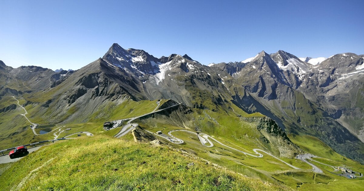
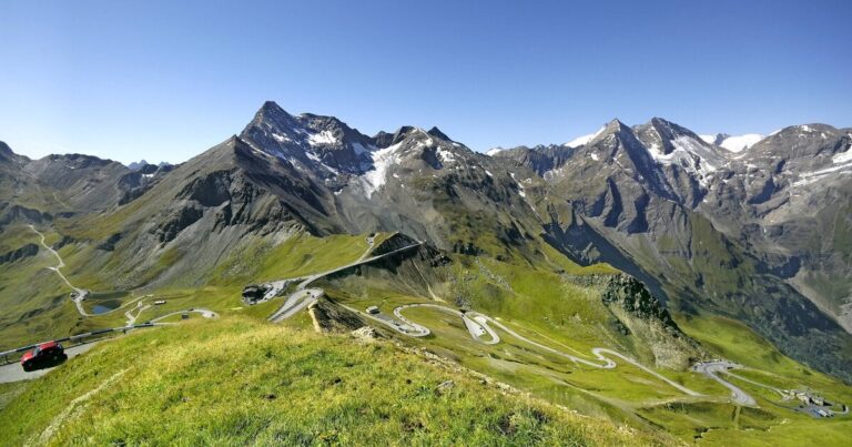 Grossglockner High Alpine Road – Panoramic Drive from Zell am See
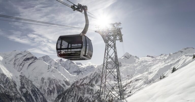 Kitzsteinhorn – Glacier & Gipfelwelt 3000 in Kaprun
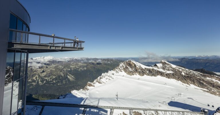 Gipfelwelt 3000 at the Kitzsteinhorn
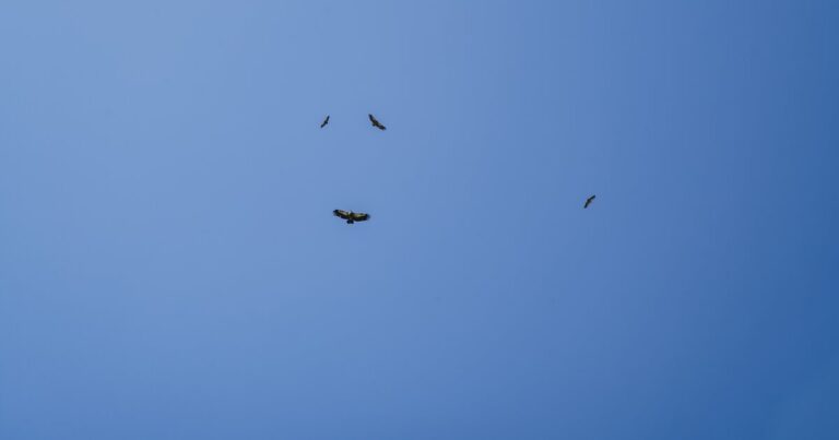 Hohe Tauern National Park
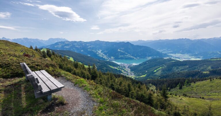 Schmittenhöhe in Zell am See – Panorama Mountain for Summer & Winter
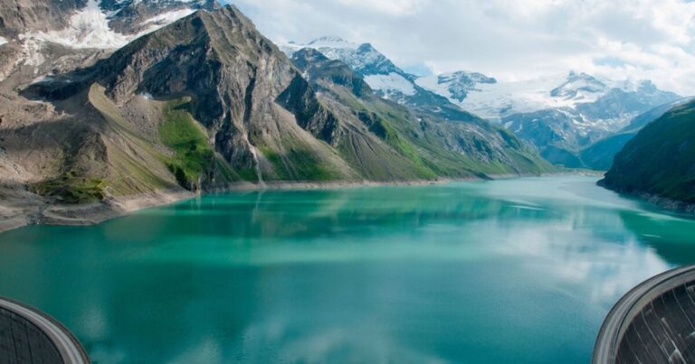 Mooserboden & the Kaprun High Alpine Reservoirs at 2,040 m
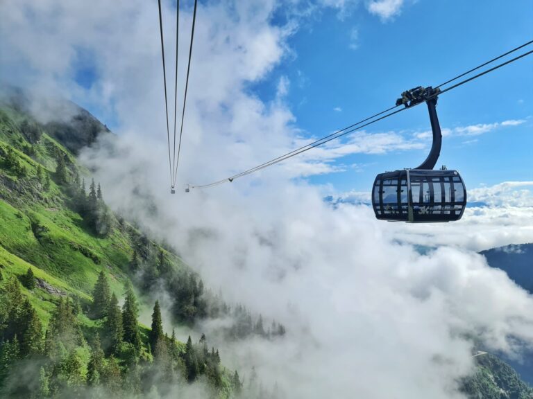 Maiskogel and the 3K K-onnection: Kaprun’s Way to the Glacier
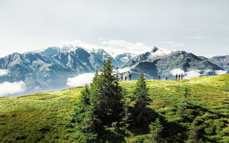 Hohe Tauern Panorama Trail
 Kesselfall Kaprun: the end of the road
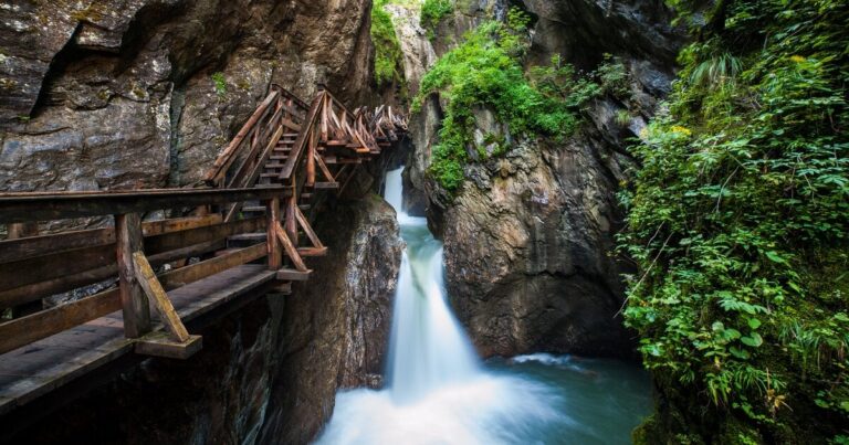 Sigmund-Thun Gorge in Kaprun – Hiking Through the Water Gorge
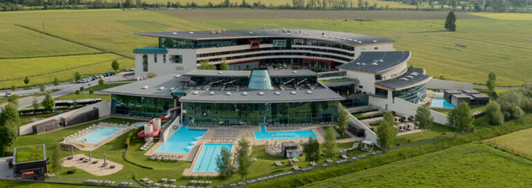 TAUERN SPA Kaprun
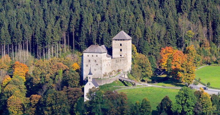 Kaprun Castle
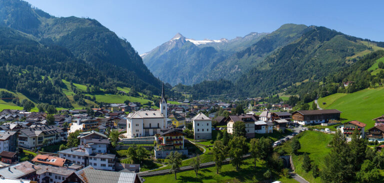 Discover Kaprun
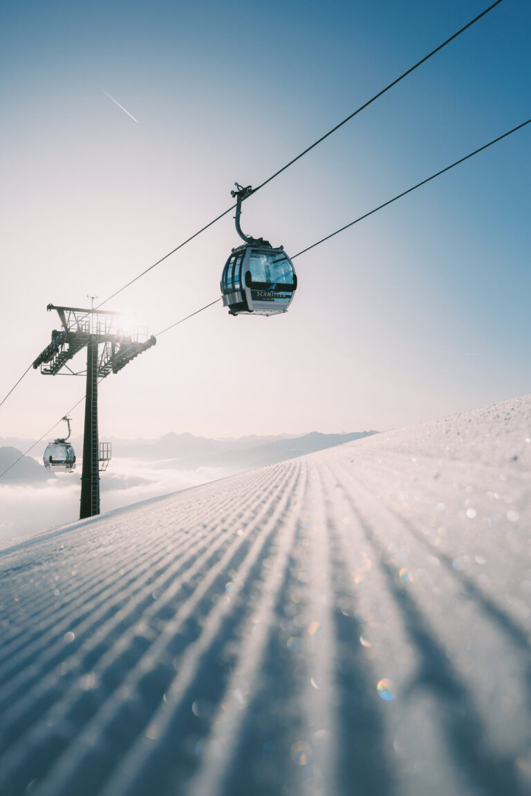 Schmittental, Zell am See: staying at the valley station
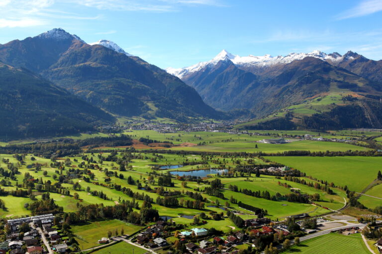 Golf in Zell am See-Kaprun
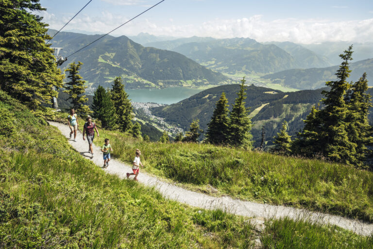 areitXpress: from Schüttdorf to Areit 1,400
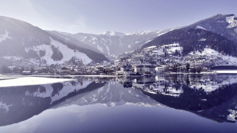 Schüttdorf, Zell am See: the district at the ski area
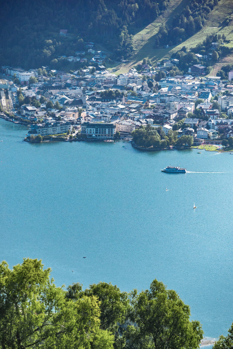 Zell am See Old Town — History, Sights & Hidden Gems
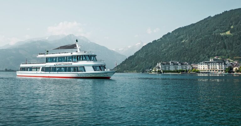 Boat Trips on Lake Zell
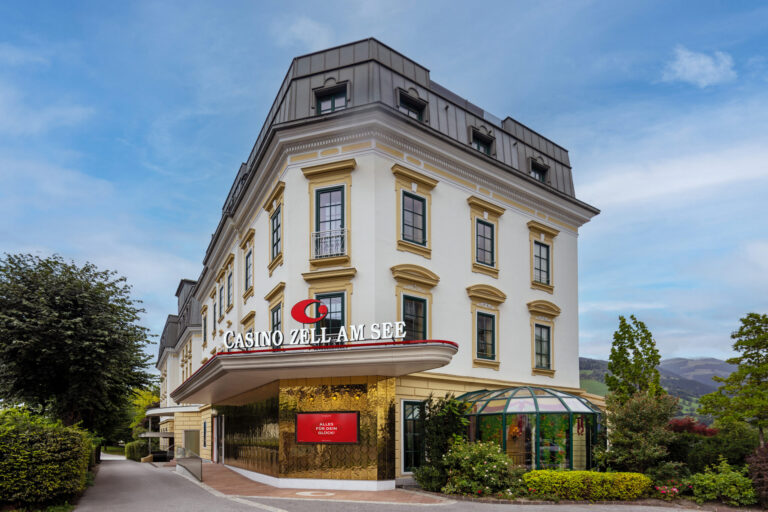 Casino Zell am See
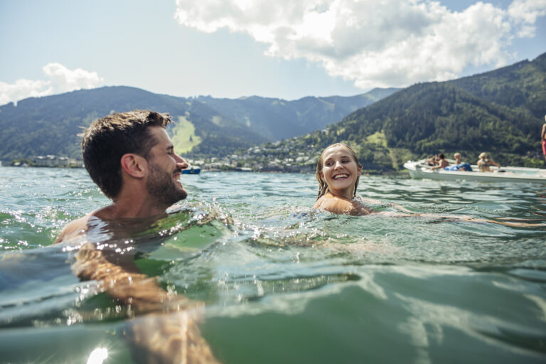 Swimming Lakes in Austria: Lake Zell in Zell am See
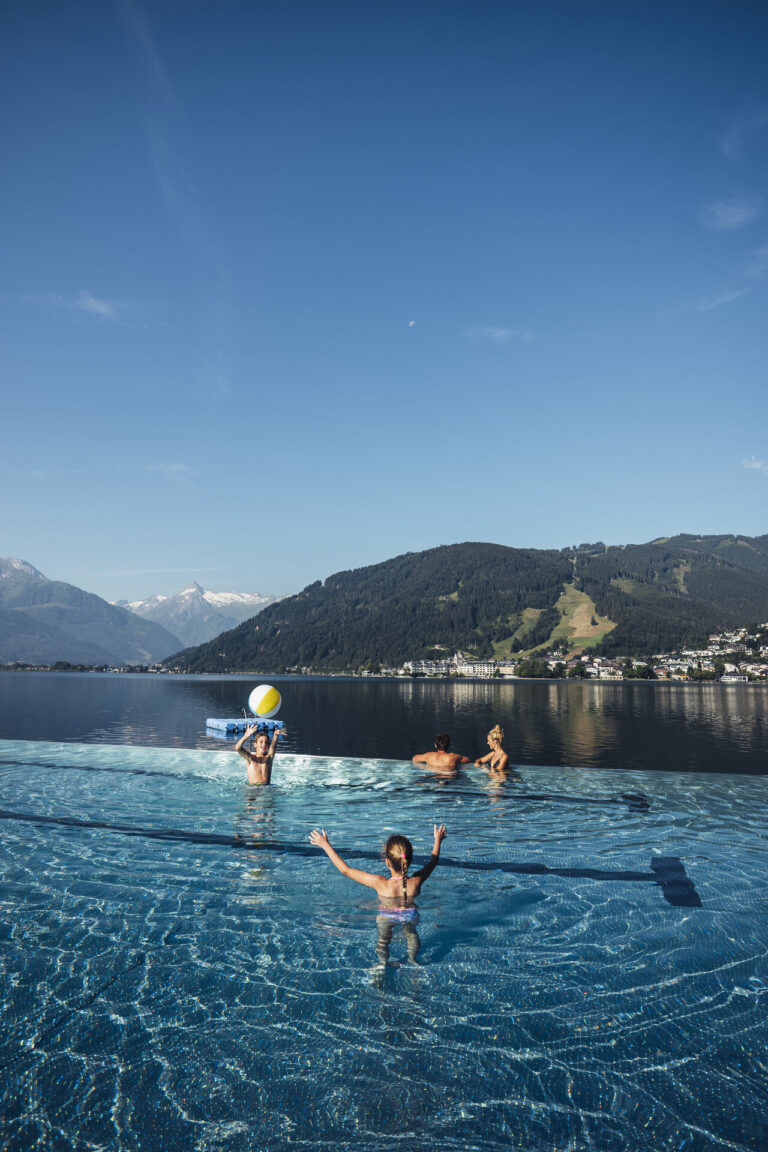 Thumersbach on Lake Zell: the quiet shore opposite town