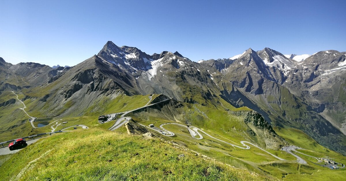
Reaching the summit of the Grossglockner takes alpine experience, a rope and a guide. The far-reaching views, however, are available without crampons – from the Edelweissspitze (2,571 m), the highest point on the Grossglockner High Alpine Road that you can reach by car. And this is where the line that made the viewpoint famous belongs: on a clear day, the view is said to stretch across seven countries.
Which seven countries are meant
There is no official list. The number comes from tourism literature and describes the sheer breadth of the panorama rather than seven clearly distinguishable territories. The countries usually named are:
- Austria – all around: the Hohe Tauern, the Glockner group, the Totes Gebirge and the Limestone Alps to the east.
- Italy – south: the Ortler, the edge of the Dolomites and, on very clear days, the Po Plain.
- Slovenia – south-east: Triglav and the Julian Alps.
- Switzerland – west: the border region around Piz Bernina and the Engadin.
- Germany – north: the Bavarian foreland, towards the Bohemian Forest and Regensburg.
- Liechtenstein – west: behind the Rätikon, in the haze along the Bernina axis.
- Croatia – south-east: the karst country beyond the Julian Alps.
Realistically: Austria, Italy and Slovenia are reliably in view on clear days – the Ortler and Triglav are named explicitly in the mountaineering literature as distant landmarks of the Glockner panorama. The rest sit at the edge of what is physically possible and need an exceptionally clear, cold air mass. Read the seven countries as a promise and you will be disappointed; read them as a measure of how far this panorama reaches and you are right.
Where the Edelweissspitze is
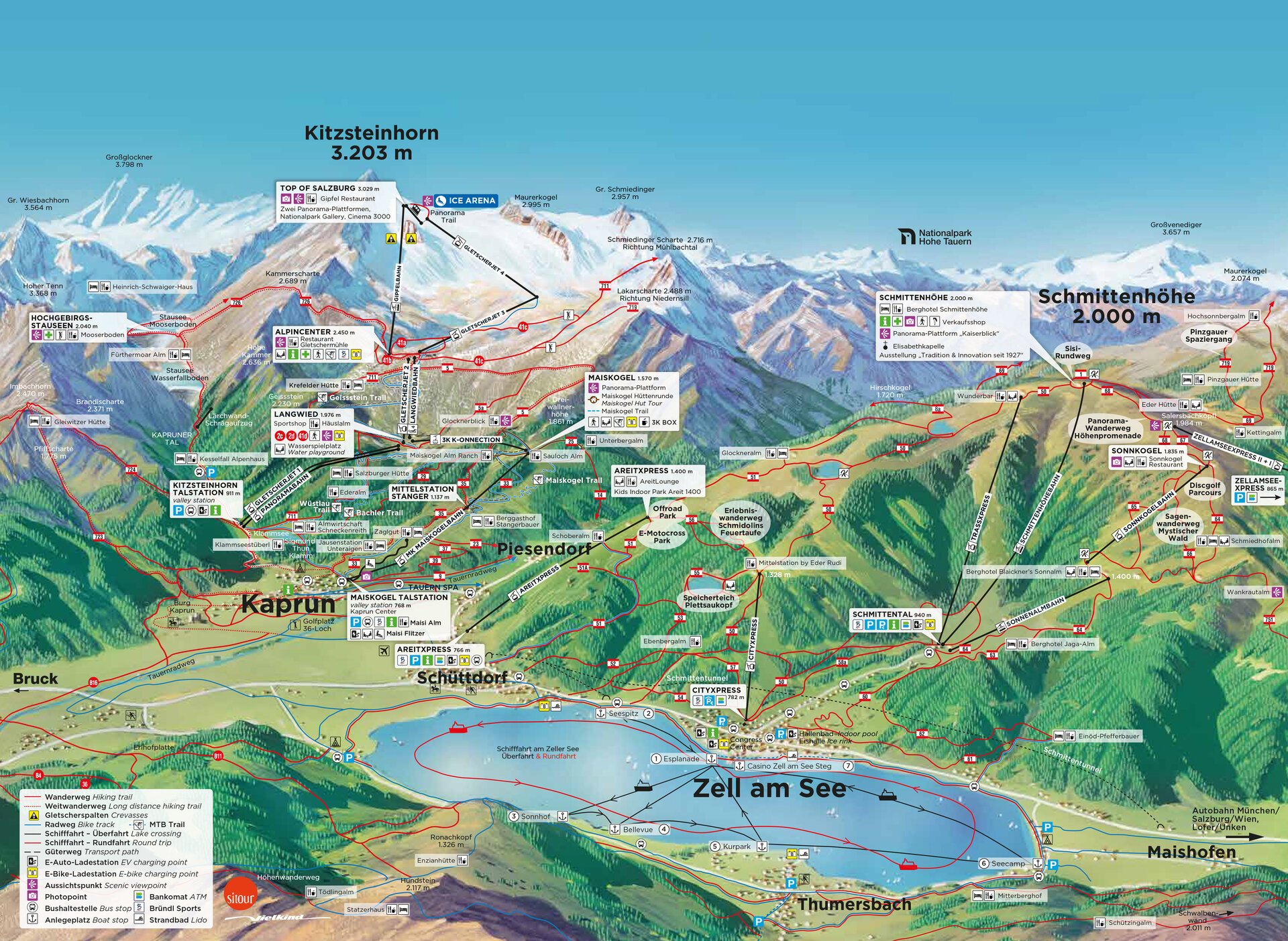
The Edelweissspitze lies on the Salzburg side of the High Alpine Road, just above the Fuscher Törl – around 20 kilometres beyond the Ferleiten toll gate, roughly halfway between Zell am See and the Kaiser-Franz-Josefs-Höhe.
View a larger map on OpenStreetMap · Map data © OpenStreetMap contributors
Getting there and parking
Shortly after the Fuscher Törl, a short cobbled spur road branches off the main route and climbs to the car park in a few tight bends. It is short but steep and narrow – not suitable for motorhomes or trailers. From the car park it is a walk of only a few minutes up to the viewing tower, where a 360-degree panorama opens up over more than 30 three-thousand-metre peaks and several glaciers. On fine days the car park fills early; arrive after 10 a.m. and you will usually queue for a space.
Tips for the best view
- Start early: the air is clearest in the morning; in summer, cumulus clouds often build over the Hohe Tauern in the afternoon.
- Go after a cold front: the longest sight lines usually come in the first days after a change in the weather – that is when the distant landmarks stand any chance at all.
- Dress warmly: at 2,571 m it is considerably cooler and windier than in the valley even in high summer – a difference of 10 to 15 degrees compared with Zell am See is normal.
- Allow time: the Edelweissspitze is not a quick stop. Budget at least an hour for the drive up, the tower and photographs.
Whether from the summit or from the tower on the Edelweissspitze, few places in the Eastern Alps reveal so much of the Alpine world at a single glance. For the full drive – tolls, opening hours, season and the other viewpoints – see the overview of the Grossglockner High Alpine Road from Zell am See.